Admiralty Islands (Australien)
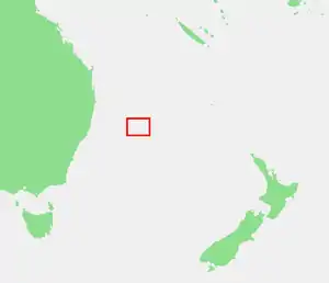
Die Admiralty Islands[1][2] sind eine unbewohnte Inselgruppe rund 580 Kilometer vor der Ostküste des australischen Bundesstaats New South Wales. Die Gruppe besteht aus etwa acht Felsinseln und liegt nahe der Nordostküste der Lord-Howe-Insel.
| Admiralty Islands | |
|---|---|
 Sicht von Lord-Howe-Island auf die Admiralty Islands | |
| Gewässer | Tasmansee |
| Archipel | Lord-Howe-Inselgruppe |
| Geographische Lage | 31° 30′ S, 159° 4′ O |
 Karte von Admiralty Islands | |
| Anzahl der Inseln | ca. 8 |
| Hauptinsel | Roach Island |
| Einwohner | unbewohnt |
Inseln
![]() Karte mit allen Koordinaten: OSM | WikiMap
Karte mit allen Koordinaten: OSM | WikiMap
| Inselname | Koordinaten | Fläche |
|---|---|---|
| Roach Island | 31° 30′ S, 159° 04′ O | … |
| Sugarloaf Island | 31° 30′ S, 159° 04′ O | … |
| Noddy Island | 31° 30′ S, 159° 04′ O | … |
| South Island | 31° 30′ S, 159° 04′ O | … |
| Tenth of June | 31° 30′ S, 159° 04′ O | … |
| Flat Rock | 31° 29′ S, 159° 04′ O | … |
| North Rock | 31° 29′ S, 159° 04′ O | … |
| Soldiers Cap | 31° 31′ S, 159° 04′ O | … |
Einzelnachweise
- Admiralty Islands. In: geonames.org. Abgerufen am 18. September 2023 (englisch).
- Sailing Directions (enroute). The Center, 1994 (eingeschränkte Vorschau in der Google-Buchsuche).
This article is issued from Wikipedia. The text is licensed under Creative Commons - Attribution - Sharealike. Additional terms may apply for the media files.